

For more than fifty years, California has been quietly working on one of its most ambitious—and least publicized—infrastructure projects: a continuous public trail running the length of the state’s coastline, from the Oregon border to the Mexican border.
It’s called the California Coastal Trail (CCT), and while it isn’t finished yet, many of its most spectacular stretches are already open and waiting.
Half a Century in the Making
The idea took root in 1975, when the California Coastal Plan first identified the need for uninterrupted public access along the entire shoreline.
The project gained real momentum in 1999, when then-Gov. Gray Davis designated it a “Millennium Legacy Trail” and directed state agencies to begin coordinated construction. Since then, the California Coastal Commission, the state parks system, Caltrans, local governments, and nonprofit organizations have worked together to close the remaining gaps.
More than two decades later, the trail is roughly 70% complete.
About 870 miles are now connected, linking coastal bluff paths, clifftop trails, beach walks, bike-friendly segments, and, in a handful of places, road shoulders. This is not a single narrow footpath but a system of parallel routes designed for hikers, cyclists, equestrians, and wheelchair users, depending on the segment.
Paradoxically, the remaining 30% is the hardest part.
Closing those gaps requires negotiating rights-of-way across private land, securing funding, protecting sensitive habitats, and finding detours where geography or land ownership still make a continuous path impossible.
Even so, planning an extended walk is entirely feasible today by combining the sections already open to the public.
The Most Iconic Segments
Within the trail’s nearly 1,200 miles, certain sections stand out for their scenery and make an ideal introduction for anyone not tackling the full route:
The Santa Monica Strand, in Southern California, is an easy, urban stretch running alongside the legendary Santa Monica Pier—a natural starting point for anyone wanting to pair coastal walking with the energy of the Los Angeles shoreline.
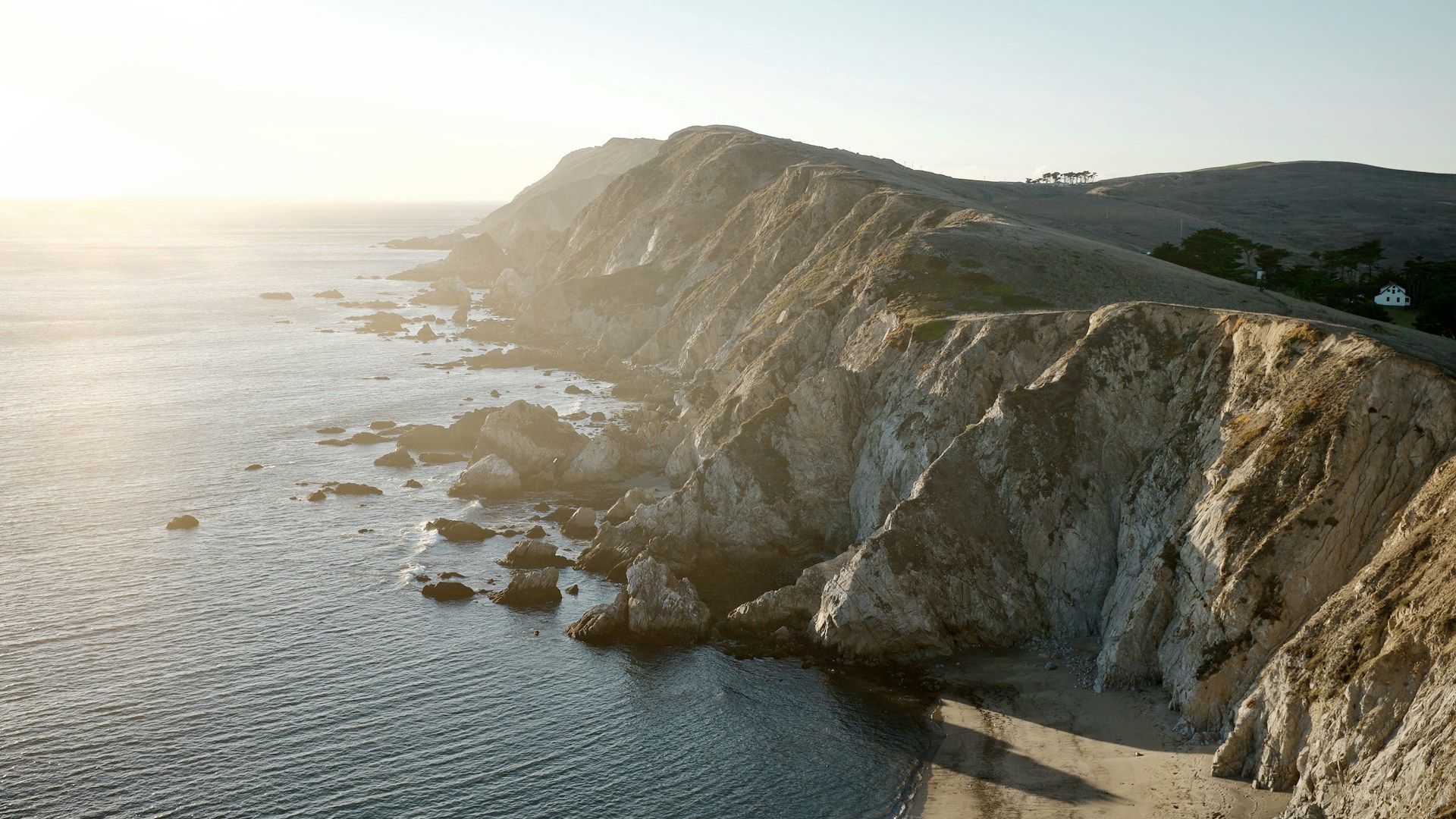
Further north, the Point Reyes peninsula in Marin County delivers sheer cliffs, open coastal grasslands, and abundant marine wildlife—elephant seals year-round, gray whales during migration season—set within one of the wildest and least developed stretches of the Pacific coast.
In San Francisco itself, the Land’s End and Presidio segments wind through eucalyptus groves and past overlooks above the Golden Gate Bridge, where nature and city meet.
When to Go
The California coast’s climate shifts considerably with the seasons, and good timing makes a big difference.
Summer, despite being peak season, isn’t necessarily your best bet.
From June through August, the phenomenon known as June Gloom—a thick marine layer—blankets much of the coastline through the morning and into the afternoon, particularly in the north. Temperatures stay mild and rain is virtually nonexistent, but the fog can be relentless.
Fall, from September through November, is the season most often recommended by people who know the trail well.
Skies are clear, the fog is less persistent than in summer, and the winter rains haven’t yet arrived. Between December and March, those rains can trigger landslides on some clifftop sections and complicate crossings of coastal rivers.
Spring, especially April and May, is also a great option.
Wildflowers fill the headlands, crowds are thinner than in peak season, and it lines up with the tail end of the gray whales’ northward migration.
Practical Advice for Hikers
Before setting out on any segment of the CCT, a few essentials are worth keeping in mind:
- Check the current status of your chosen section at CaliforniaCoastalTrail.org or on the Coastal Conservancy’s map, as some segments change from one year to the next because of construction or temporary closures.
- Check the tide tables if your route includes beach walking—several passages are only navigable at low tide.
- Dress in layers even in summer; the marine fog can drop the temperature by several degrees in a matter of minutes.
- Verify whether your segment requires a permit, which is common in areas that cross campgrounds or nature reserves in the northern part of the state.
- If you’d rather not carry a full pack all day, many local operators will move your luggage between stops—handy for anyone stringing together several days of hiking with nights in hotels.
Where to Stay Near the Best Segments
Several of the trail’s most rewarding stretches run close to areas with good places to stay, making it easy to plan a route that pairs daytime hiking with a comfortable bed at night.
In Santa Monica, Shutters on the Beach and Hotel Casa del Mar are two classics with direct beach access, steps from the pier and the Strand.
On the Point Reyes peninsula, Olema House sits at the edge of Point Reyes National Seashore, a refined, ranch-style base for exploring the surrounding trails.
In San Francisco, the Inn at the Presidio and its newer sibling, the Lodge at the Presidio, are the only hotels inside Presidio Park itself—a short walk from the Land’s End trails, with direct views of the Golden Gate Bridge.
A Trail Best Walked in Pieces
The California Coastal Trail will likely remain unfinished for years to come, but that does nothing to diminish its appeal.
Every open segment stands on its own as a complete experience, from the urban buzz of Santa Monica to the raw silence of Point Reyes.
Maybe that’s exactly its charm—you don’t have to wait for the trail to be finished to start walking it.


