
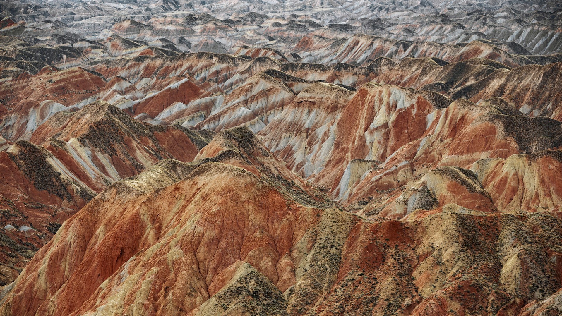
The Zhangye Danxia Rainbow Mountains, in China’s Gansu province, look like something a digital artist dreamed up on a screen.
Bands of red, yellow, green, and violet sweep across hillsides several hundred feet high. None of it comes from artificial pigment.
The colors come from minerals deposited more than 100 million years ago, when this arid corner of northwestern China was a far wetter place than it is today.
Where It Is and What Sets It Apart From Other Landscapes With the Same Name
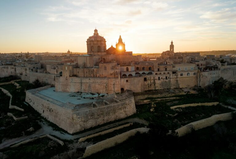
The geopark sits at the foot of the Qilian Mountains, along the Hexi Corridor — an ancient trade route in northwestern China — about 25 miles from the city of Zhangye.
Note that Zhangye Danxia is not part of the UNESCO World Heritage Site known as “China Danxia,” designated in 2010.
That title goes to six other red-rock landscapes in the subtropical south and southeast of the country, spread across the provinces of Guangdong, Fujian, Hunan, Jiangxi, Guizhou, and Zhejiang.
Zhangye, by contrast, was designated a UNESCO Global Geopark in July 2020 — a separate program focused on a site’s scientific and educational value rather than its preservation as cultural or natural heritage.
The confusion between the two categories is common because they share the word “danxia,” a term that describes any landscape shaped by layers of red sandstone and conglomerate, sculpted by tectonic uplift and erosion.
The word traces back to Mount Danxia in Guangdong, where Chinese geologists first described the phenomenon in the 1920s.
Zhangye is just one of several danxia landscapes scattered across the country — but the only one whose color palette reaches anything close to this range.
How the Color Bands Formed
The most commonly cited explanation puts the process at 24 million years of sedimentation.
A study published in the journal Palaeogeography, Palaeoclimatology, Palaeoecology, however, traces the origin of these layers to the Early Cretaceous, between 125 and 100 million years ago.
At that time, a series of crustal extension and fracturing events opened a number of basins — among them the Zhangye Basin — which gradually filled with sediment.
The same study analyzed 155 paleosol profiles, fossilized soils preserved within the rock layers, and identified at least eleven distinct humidity phases.
The finding upends a visitor’s first impression: the climate in which these layers were deposited was considerably wetter than the semi-arid landscape that surrounds the geopark today.
The color bands, then, are not a product of the desert. They are the record of a much rainier past.
Millions of years later, the same tectonic forces that raised the Himalayas lifted this region and exposed its sedimentary layers to wind and water erosion.
That process, sustained across deep geological time, carved the ridges, towers, and valleys visitors walk through today.
Why Each Band Is a Different Color
The dominant red comes from hematite, an iron oxide that forms when iron in the sediment reacts with oxygen.
Yellow and brown bands are produced by other oxides — goethite and limonite among them. Green, which appears less frequently, signals the presence of chlorite or clays rich in iron silicates.
These minerals did not mix at the time of deposition. They accumulated in separate sedimentary episodes, each with its own chemical composition — which is why the boundaries between colors are so sharp, and why they don’t bleed into one another.
A Landscape That Remained Unknown Until 2000
For all its hundred-million-year history, Zhangye Danxia is a surprisingly young tourist destination.
The landscape stayed off the map of mass tourism until 2000, when a journalist and a local farmer named Lei Yixing brought it to public attention through an article in a regional newspaper.
The photographs caused an immediate sensation. By 2008, the site had been declared a provincial nature reserve, and within a few years it was elevated to a national geopark.
A Region of Ethnic Minorities and Little-Known Ancient Geology
The full geopark encompasses the Colorful Hills, the Binggou Danxia area, the Yugur Cultural Corridor, and the Jiuquan Geological Research Area.
In total, it covers 498 square miles — a far larger area than the strip of colored hills that shows up in most photographs and is so often presented as if it were the entire geopark.
Its administrative core, Sunan County, is the only autonomous Yugur county in China. Some 56.5% of the local population belongs to ethnic minorities, including Yugur, Tibetan, Mongolian, Hui, Manchu, Dongxiang, and Bonan peoples.
Within the geopark’s boundaries lies a geological discovery of international importance that rarely reaches beyond scientific circles: the Jiuquan (Nine Springs) ophiolite sequence, a fragment of ancient oceanic crust preserved from an early Paleozoic plate collision zone.
It served as a study site during the 30th International Geological Congress in 1996 — long before Zhangye’s color-streaked hillsides went viral on social media.